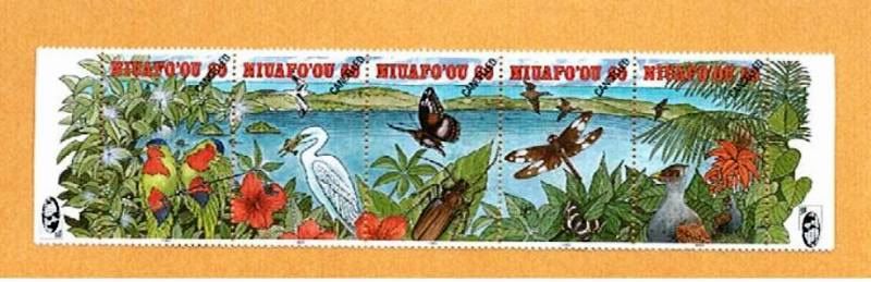
This is a courtesy specimen (see CANCELED over the denomination) created for the Global Stamp News magazine, as a promotion.
"Niuafoʻou (meaning: new coconut) is the most northerly island in the kingdom of Tonga. It is a volcanic rim island of 15 km² and with a population of 650 in 2006."
Cold Mountain? No, Stolen Mountain!
"According to the myths, Niuafoʻou originally had a mountain, rather than a lake in the middle.
But the mountain was stolen one night and became Tafahi."
And hot, too, as an active volcano.
An island with 3 islands in the lake from the middle!
Bonus: a 4th island, sometimes submerged in the lake waters.

Niuafo'ou from the International Space Station, 2005-03-19
"The island is located in the southern Pacific Ocean between Fiji and Samoa, 574 km north of Tongatapu island group and 337 kilometers northwest of Vavaʻu. It is a still active volcano.
Other names for the island are Good Hope island and Tin Can island.
The latter name originated from the fact that, since the island has neither a natural harbor nor a wharf, in earlier times, mail was delivered and picked up by strong swimmers [ :) ] who would retrieve packages, "sealed up in a biscuit tin" and thrown overboard from passing ships.
An early trader, named Walter George Quensell, acted as postmaster at that time and stamped the mail with colourful marks which have become a collectors' item.
The Tongan government took over this tradition with special Niuafoʻou stamps since 1983.
Niuafoʻou is a volcano located on an underwater ridge 190 kilometres (120 mi) west of the line of all the other volcanoes of Tonga.
The island contains a steep-sided caldera; the rim is over 120 metres (390 ft) high, rising to a height of 250 metres (820 ft) at Mokotu.
The coastline is rocky and steep with only a few stony black sand beaches.
The only landing place on the island is the end of a lava flow at Futu [MY NOTE: Futu, the only place where you can go AGAINST the flow, once it's cool to do it...], in the west.
All the villages are in the north and east.
Public places like the post office, telecommunications station and airport are in Angahā in the north, while a high school is located in Muʻa.
The island ring encloses two lakes. The largest, Vai Lahi, is a crater lake 23 meters above sea level, 4 kilometers wide, and 84 meters deep.
The lake contains three islands and a submerged island that appears when the water level drops.
Vai Lahi is separated from the smaller Vai Siʻi (or Vai Mataʻaho) by a desolate landscape of sand hills.
The island is covered by forest on the inner walls of the crater lake, and on the island's eastern and western slopes."
| Kingdom of Tonga Puleʻanga Fakatuʻi ʻo Tonga | ||||||
|---|---|---|---|---|---|---|
| ||||||
| Motto: Ko e ʻOtua mo Tonga ko hoku tofiʻa God and Tonga are my Inheritance | ||||||
| Anthem: Ko e fasi ʻo e tuʻi ʻo e ʻOtu Tonga | ||||||
.svg) | ||||||
| Capital (and largest city) | Nukuʻalofa 21°08′S 175°12′W | |||||
| Official language(s) | Tongan, English | |||||
| Demonym | Tongan | |||||
| Government | Constitutional monarchy | |||||
| - | King | George Tupou V | ||||
| - | Prime Minister | Lord Tuʻivakanō | ||||
| Independence | ||||||
| - | from Britishprotectorate | June 4, 1970 | ||||
| Area | ||||||
| - | Total | 748 km2 (186th) 289 sq mi | ||||
| - | Water (%) | 4.0 | ||||
| Population | ||||||
| - | 2009 estimate | 104,000[1] (195th) | ||||
| - | Density | 139/km2 (76th1) | ||||


